Staffordshire and Worcestershire Canal east of Coven, Staffordshire
Introduction
The photograph on this page of Staffordshire and Worcestershire Canal east of Coven, Staffordshire by Roger D Kidd as part of the Geograph project.
The Geograph project started in 2005 with the aim of publishing, organising and preserving representative images for every square kilometre of Great Britain, Ireland and the Isle of Man.

There are currently over 7.5m images from over 14,400 individuals and you can help contribute to the project by visiting https://www.geograph.org.uk
Staffordshire and Worcestershire Canal east of Coven, Staffordshire
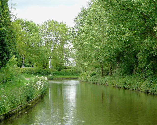
Image: © Roger D Kidd Taken: 26 May 2009
The canal was built in the years up to 1772 by James Brindley, meandering along the contours of the land wherever possible, like here where it makes a ninety degree bend to the east. The posts in the trees ahead belong to the railway.
Images are licensed for reuse under creativecommons.org/licenses/by-sa/2.0
Image Location
Latitude
52.661019
Longitude
-2.12001