George Lane, Stanton
Introduction
The photograph on this page of George Lane, Stanton by Bob Jones as part of the Geograph project.
The Geograph project started in 2005 with the aim of publishing, organising and preserving representative images for every square kilometre of Great Britain, Ireland and the Isle of Man.

There are currently over 7.5m images from over 14,400 individuals and you can help contribute to the project by visiting https://www.geograph.org.uk
George Lane, Stanton
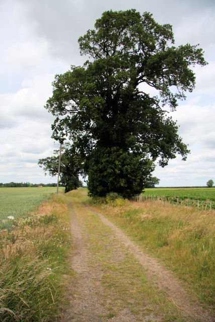
Image: © Bob Jones Taken: 18 Jun 2009
This trackway links the A143 east of Stanton, with Stanton Chare. It is an 'other route open to public access'.
Images are licensed for reuse under creativecommons.org/licenses/by-sa/2.0
Image Location
Latitude
52.32773
Longitude
0.893087