Bridleway through Cawston Grange Estate
Introduction
The photograph on this page of Bridleway through Cawston Grange Estate by Stephen McKay as part of the Geograph project.
The Geograph project started in 2005 with the aim of publishing, organising and preserving representative images for every square kilometre of Great Britain, Ireland and the Isle of Man.

There are currently over 7.5m images from over 14,400 individuals and you can help contribute to the project by visiting https://www.geograph.org.uk
Bridleway through Cawston Grange Estate
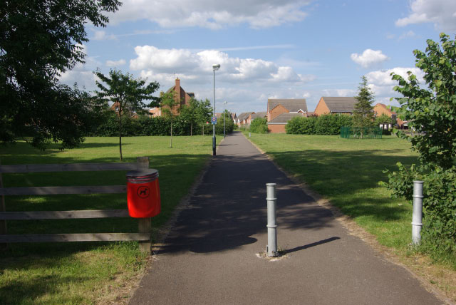
Image: © Stephen McKay Taken: 14 Jun 2009
The estate has covered the land once occupied by Cawston Grange Farm but the bridleway that once crossed this land can still be followed - more or less - now a tarmaced path.
Images are licensed for reuse under creativecommons.org/licenses/by-sa/2.0
Image Location
Latitude
52.356891
Longitude
-1.305732