The King's Standing
Introduction
The photograph on this page of The King's Standing by Adrian Bailey as part of the Geograph project.
The Geograph project started in 2005 with the aim of publishing, organising and preserving representative images for every square kilometre of Great Britain, Ireland and the Isle of Man.

There are currently over 7.5m images from over 14,400 individuals and you can help contribute to the project by visiting https://www.geograph.org.uk
The King's Standing
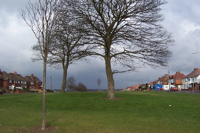
Image: © Adrian Bailey Taken: 22 Feb 2005
Barely noticeable as you drive by on the B4138, this low hummock marks the place where King Charles I is supposed to have stood and contemplated his next move in his fight against Cromwell.
Images are licensed for reuse under creativecommons.org/licenses/by-sa/2.0
Image Location


Leaflet Map data © OpenStreetMap
Latitude
52.557281
Longitude
-1.883432