The Maytree Public House
Introduction
The photograph on this page of The Maytree Public House by Dr Duncan Pepper as part of the Geograph project.
The Geograph project started in 2005 with the aim of publishing, organising and preserving representative images for every square kilometre of Great Britain, Ireland and the Isle of Man.

There are currently over 7.5m images from over 14,400 individuals and you can help contribute to the project by visiting https://www.geograph.org.uk
The Maytree Public House
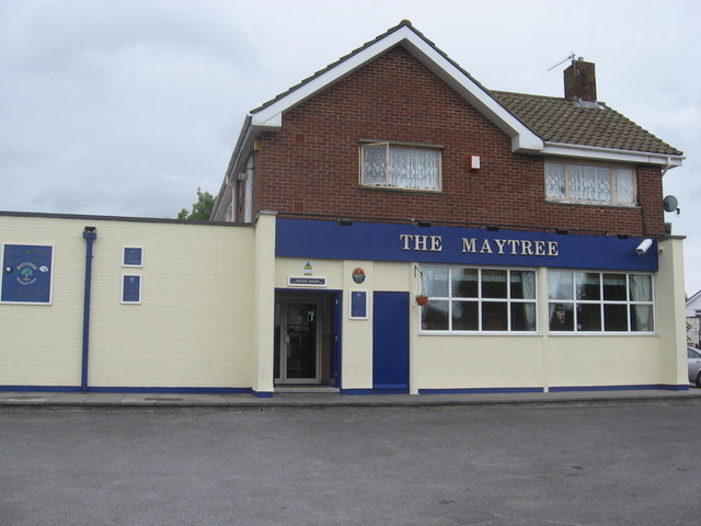
Image: © Dr Duncan Pepper Taken: 18 Jun 2009
On the corner of St Peters Rise and Headley Park Avenue.
Images are licensed for reuse under creativecommons.org/licenses/by-sa/2.0
Image Location


Leaflet Map data © OpenStreetMap
Latitude
51.421489
Longitude
-2.608721