West St Leonards Station
Introduction
The photograph on this page of West St Leonards Station by Simon Carey as part of the Geograph project.
The Geograph project started in 2005 with the aim of publishing, organising and preserving representative images for every square kilometre of Great Britain, Ireland and the Isle of Man.

There are currently over 7.5m images from over 14,400 individuals and you can help contribute to the project by visiting https://www.geograph.org.uk
West St Leonards Station
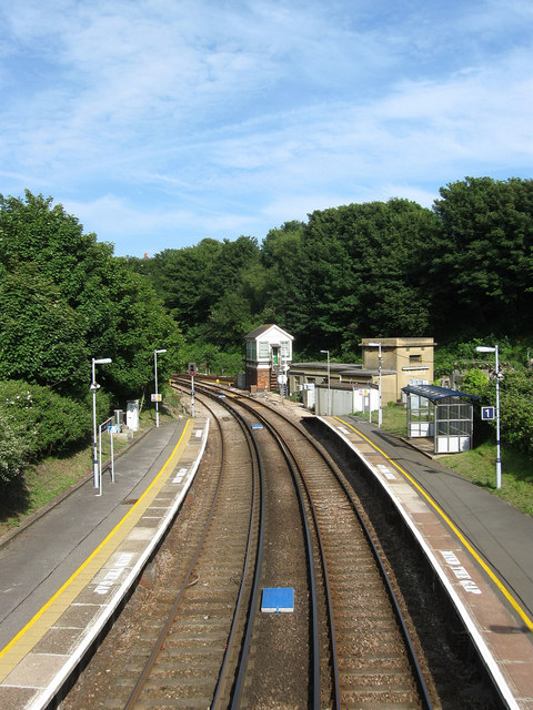
Image: © Simon Carey Taken: 14 Jun 2009
View from the footbridge towards the signal box at Bo-Peep Junction where the line from Tunbridge Wells joins another from Brighton and head towards Hastings.
Images are licensed for reuse under creativecommons.org/licenses/by-sa/2.0
Image Location
Latitude
50.853001
Longitude
0.541518