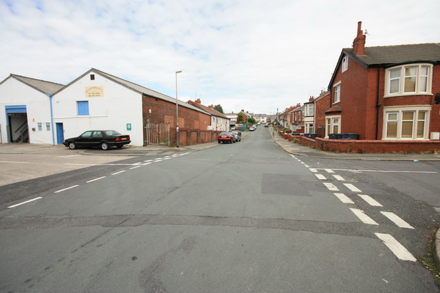
Brun Grove
Introduction
The photograph on this page of Brun Grove by Bob Jenkins as part of the Geograph project.
The Geograph project started in 2005 with the aim of publishing, organising and preserving representative images for every square kilometre of Great Britain, Ireland and the Isle of Man.
There are currently over 7.5m images from over 14,400 individuals and you can help contribute to the project by visiting https://www.geograph.org.uk

Image: © Bob Jenkins Taken: 18 Jun 2009
The street has a strange history; the dip in the middle was due to subsidence caused after the Spen Dyke (that drained the Black Pool) was culverted and the land dried. The row of terraced houses on the left were built on a concrete slab, and slowly sank about 3 metres, resulting in regular flooding with sewage when Blackpool's sewer system, the weather and tides conspired. The occupants were eventually rehoused, the floors raised with even more concrete and the premises became commercial.

