Open space south of West Cliff Road, Dawlish
Introduction
The photograph on this page of Open space south of West Cliff Road, Dawlish by Robin Stott as part of the Geograph project.
The Geograph project started in 2005 with the aim of publishing, organising and preserving representative images for every square kilometre of Great Britain, Ireland and the Isle of Man.

There are currently over 7.5m images from over 14,400 individuals and you can help contribute to the project by visiting https://www.geograph.org.uk
Open space south of West Cliff Road, Dawlish
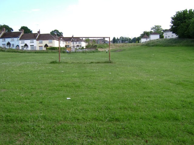
Image: © Robin Stott Taken: 9 Jun 2009
With Third Avenue on the left and First Avenue on the right (where are the trees?). At the top of the slope is a sort of mini-MUGA (multi-use games area), being used by local lads.
Images are licensed for reuse under creativecommons.org/licenses/by-sa/2.0
Image Location
Latitude
50.577961
Longitude
-3.477248