Selborne Place
Introduction
The photograph on this page of Selborne Place by Simon Carey as part of the Geograph project.
The Geograph project started in 2005 with the aim of publishing, organising and preserving representative images for every square kilometre of Great Britain, Ireland and the Isle of Man.

There are currently over 7.5m images from over 14,400 individuals and you can help contribute to the project by visiting https://www.geograph.org.uk
Selborne Place
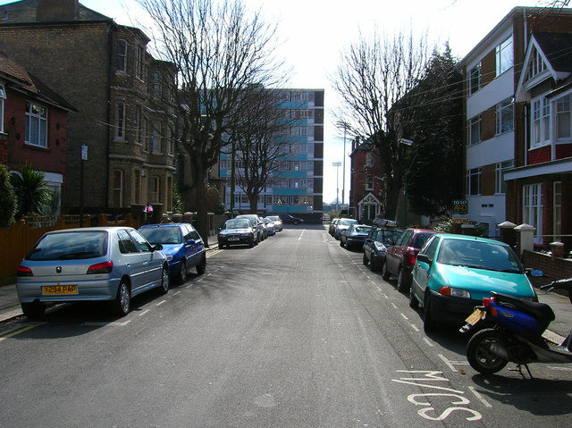
Image: © Simon Carey Taken: 12 Mar 2006
This is the entire length of the road which links Lorna Road, which runs parallel with the railway and Cromwell Road (B2120). This view looks south towards Hovedene on Cromwell Road and the north western floodlights of the County Cricket ground.
Images are licensed for reuse under creativecommons.org/licenses/by-sa/2.0
Image Location
Latitude
50.832778
Longitude
-0.163852