Harrow Street, Belfast (1)
Introduction
The photograph on this page of Harrow Street, Belfast (1) by Albert Bridge as part of the Geograph project.
The Geograph project started in 2005 with the aim of publishing, organising and preserving representative images for every square kilometre of Great Britain, Ireland and the Isle of Man.

There are currently over 7.5m images from over 14,400 individuals and you can help contribute to the project by visiting https://www.geograph.org.uk
Harrow Street, Belfast (1)
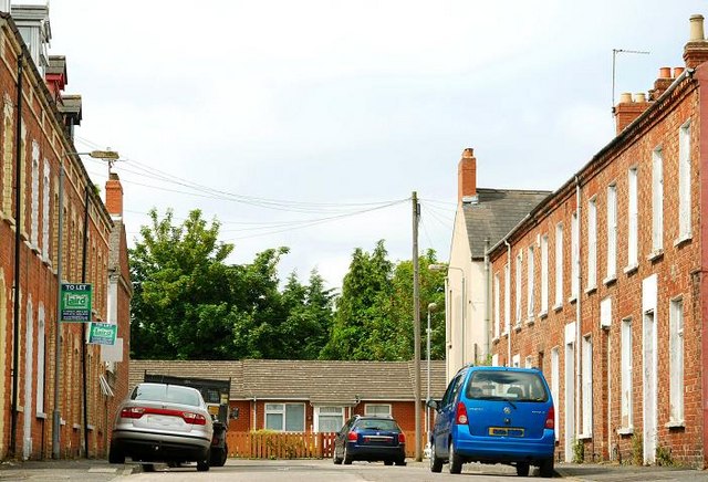
Image: © Albert Bridge Taken: 16 Jun 2009
In Image I referred to the 20th century redevelopment which obliterated some streets, truncated others and retained some in name only. Frustrating for the casual genealogist and local historian but nothing new. Harrow Street now runs from Carmel Street Image to Southview Street Image (background). It was built circa 1878/80 when it was described as running from Crecy Terrace – a name now unknown. Further a map from the early 1860’s shows this area as devoid of houses. See also Image
Images are licensed for reuse under creativecommons.org/licenses/by-sa/2.0
Image Location
Latitude
54.582353
Longitude
-5.926965