Underneath the Arches, the A370 near Long Ashton
Introduction
The photograph on this page of Underneath the Arches, the A370 near Long Ashton by Dr Duncan Pepper as part of the Geograph project.
The Geograph project started in 2005 with the aim of publishing, organising and preserving representative images for every square kilometre of Great Britain, Ireland and the Isle of Man.

There are currently over 7.5m images from over 14,400 individuals and you can help contribute to the project by visiting https://www.geograph.org.uk
Underneath the Arches, the A370 near Long Ashton
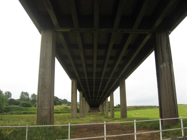
Image: © Dr Duncan Pepper Taken: 17 Jun 2009
A major commuter highway from Weston-Super-Mare to Bristol, but rarely seen from this angle.
Images are licensed for reuse under creativecommons.org/licenses/by-sa/2.0
Image Location
Latitude
51.4272
Longitude
-2.650221