Longmore Crossroads
Introduction
The photograph on this page of Longmore Crossroads by Paul L as part of the Geograph project.
The Geograph project started in 2005 with the aim of publishing, organising and preserving representative images for every square kilometre of Great Britain, Ireland and the Isle of Man.

There are currently over 7.5m images from over 14,400 individuals and you can help contribute to the project by visiting https://www.geograph.org.uk
Longmore Crossroads
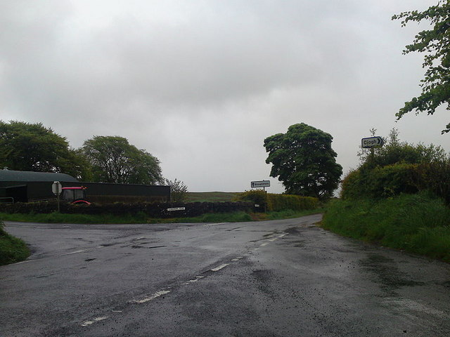
Image: © Paul L Taken: 22 May 2009
The Longmore Road where it meets Glens Brae Road and Tullymore Road.A farmyard and tractor is visible in the background on a wet day.
Images are licensed for reuse under creativecommons.org/licenses/by-sa/2.0
Image Location
Latitude
54.937603
Longitude
-6.2088