Descent from East Heslerton Brow, near Rectory Farm
Introduction
The photograph on this page of Descent from East Heslerton Brow, near Rectory Farm by Dr Patty McAlpin as part of the Geograph project.
The Geograph project started in 2005 with the aim of publishing, organising and preserving representative images for every square kilometre of Great Britain, Ireland and the Isle of Man.

There are currently over 7.5m images from over 14,400 individuals and you can help contribute to the project by visiting https://www.geograph.org.uk
Descent from East Heslerton Brow, near Rectory Farm
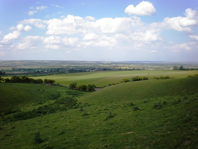
Image: © Dr Patty McAlpin Taken: 13 Jun 2009
This view is taken from the track at the base of the descent from East Heslerton Brow, an area which is punctuated with several grassy knolls and disused pits, close to Rectory Farm (red roof of one of the outbuildings visible to the left of centre in the photo).
Images are licensed for reuse under creativecommons.org/licenses/by-sa/2.0
Image Location
Latitude
54.169501
Longitude
-0.593164