A view of Ogmore Vale and Cwm Ogwr Fawr
Introduction
The photograph on this page of A view of Ogmore Vale and Cwm Ogwr Fawr by eswales as part of the Geograph project.
The Geograph project started in 2005 with the aim of publishing, organising and preserving representative images for every square kilometre of Great Britain, Ireland and the Isle of Man.

There are currently over 7.5m images from over 14,400 individuals and you can help contribute to the project by visiting https://www.geograph.org.uk
A view of Ogmore Vale and Cwm Ogwr Fawr
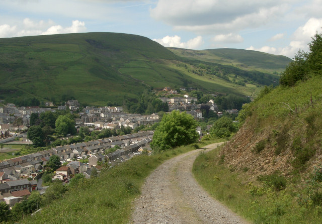
Image: © eswales Taken: 9 Jun 2009
A view from a track which begins at Ogmore Vale and runs alongside the village for some distance before climbing quite steeply up into Ogmore Forest. Mynydd Llangeinwyr runs above the valley to its west.
Images are licensed for reuse under creativecommons.org/licenses/by-sa/2.0
Image Location
Latitude
51.59791
Longitude
-3.540723