A view over Lewistown and farmland in the Ogmore Valley
Introduction
The photograph on this page of A view over Lewistown and farmland in the Ogmore Valley by eswales as part of the Geograph project.
The Geograph project started in 2005 with the aim of publishing, organising and preserving representative images for every square kilometre of Great Britain, Ireland and the Isle of Man.

There are currently over 7.5m images from over 14,400 individuals and you can help contribute to the project by visiting https://www.geograph.org.uk
A view over Lewistown and farmland in the Ogmore Valley
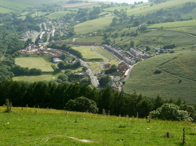
Image: © eswales Taken: 9 Jun 2009
A photograph taken on a high track - also a public footpath - at a point by the south west corner of Ogmore Forest.
Images are licensed for reuse under creativecommons.org/licenses/by-sa/2.0
Image Location
Latitude
51.583978
Longitude
-3.540251