Sintonville Avenue, Belfast
Introduction
The photograph on this page of Sintonville Avenue, Belfast by Albert Bridge as part of the Geograph project.
The Geograph project started in 2005 with the aim of publishing, organising and preserving representative images for every square kilometre of Great Britain, Ireland and the Isle of Man.

There are currently over 7.5m images from over 14,400 individuals and you can help contribute to the project by visiting https://www.geograph.org.uk
Sintonville Avenue, Belfast
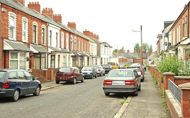
Image: © Albert Bridge Taken: 16 Jun 2009
Sintonville Avenue runs off the Upper Newtownards Road, near the Arches Image, towards the old Belfast and County Down Railway to Donaghadee and Newcastle (background) – now the Comber Greenway and formerly the Bloomfield Walkway.
Images are licensed for reuse under creativecommons.org/licenses/by-sa/2.0
Image Location
Latitude
54.596163
Longitude
-5.883864