Footpath at Middridge Village
Introduction
The photograph on this page of Footpath at Middridge Village by Peter Robinson as part of the Geograph project.
The Geograph project started in 2005 with the aim of publishing, organising and preserving representative images for every square kilometre of Great Britain, Ireland and the Isle of Man.

There are currently over 7.5m images from over 14,400 individuals and you can help contribute to the project by visiting https://www.geograph.org.uk
Footpath at Middridge Village
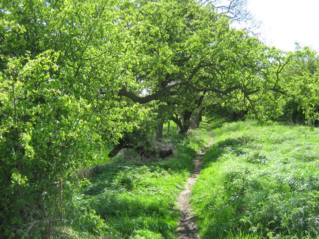
Image: © Peter Robinson Taken: 3 May 2009
This path runs alongside the former course of an aerial ropeway used to move coal from Middridge Colliery to the Darlington to Stockton Railway.
Images are licensed for reuse under creativecommons.org/licenses/by-sa/2.0
Image Location
Latitude
54.625915
Longitude
-1.614614