Footpath to Beltring House
Introduction
The photograph on this page of Footpath to Beltring House by David Anstiss as part of the Geograph project.
The Geograph project started in 2005 with the aim of publishing, organising and preserving representative images for every square kilometre of Great Britain, Ireland and the Isle of Man.

There are currently over 7.5m images from over 14,400 individuals and you can help contribute to the project by visiting https://www.geograph.org.uk
Footpath to Beltring House
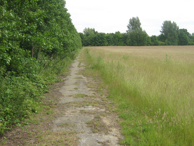
Image: © David Anstiss Taken: 12 Jun 2009
This path follows an old road leading from A228 Whetsted Road, near Lily Hoo, to B2160 Maidstone Road. Belting House is behind trees in the background.
Images are licensed for reuse under creativecommons.org/licenses/by-sa/2.0
Image Location


Leaflet Map data © OpenStreetMap
Latitude
51.196659
Longitude
0.392484