Smary Lane
Introduction
The photograph on this page of Smary Lane by David Rogers as part of the Geograph project.
The Geograph project started in 2005 with the aim of publishing, organising and preserving representative images for every square kilometre of Great Britain, Ireland and the Isle of Man.

There are currently over 7.5m images from over 14,400 individuals and you can help contribute to the project by visiting https://www.geograph.org.uk
Smary Lane
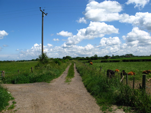
Image: © David Rogers Taken: 15 Jun 2009
Leads for about half a mile from Murton Lane to Stamford Bridge Road.
Images are licensed for reuse under creativecommons.org/licenses/by-sa/2.0
Image Location
Latitude
53.960865
Longitude
-1.005328