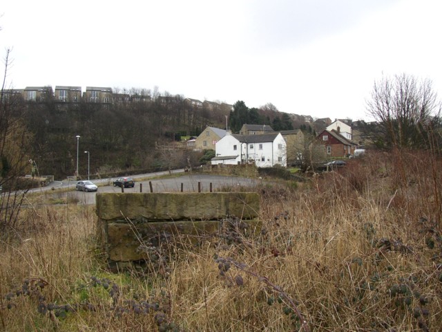
Former quarry land off Ogden Lane and Toothill Bank, Rastrick
Introduction
The photograph on this page of Former quarry land off Ogden Lane and Toothill Bank, Rastrick by Humphrey Bolton as part of the Geograph project.
The Geograph project started in 2005 with the aim of publishing, organising and preserving representative images for every square kilometre of Great Britain, Ireland and the Isle of Man.
There are currently over 7.5m images from over 14,400 individuals and you can help contribute to the project by visiting https://www.geograph.org.uk

Image: © Humphrey Bolton Taken: 11 Mar 2006
This area is dotted with old mine shafts, apparently to mine a seam of good stone which presumably was too deep to get by open-cast methods. The structure in the foreground, with iron bars sticking out of a massive block of stone, might have been a crane, but this is a guess. The houses in the middle distance are on Toothill Bank, and those at the top of the hill on Long Ridge

