A417 Lay-by, Cowarne Woods
Introduction
The photograph on this page of A417 Lay-by, Cowarne Woods by Peter Whatley as part of the Geograph project.
The Geograph project started in 2005 with the aim of publishing, organising and preserving representative images for every square kilometre of Great Britain, Ireland and the Isle of Man.

There are currently over 7.5m images from over 14,400 individuals and you can help contribute to the project by visiting https://www.geograph.org.uk
A417 Lay-by, Cowarne Woods
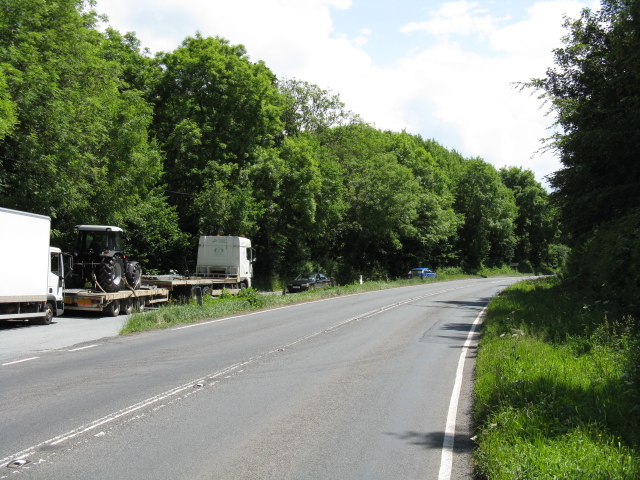
Image: © Peter Whatley Taken: 15 Jun 2009
This end of the feature just squeezes into this gridsquare which is otherwise very difficult to access.
Images are licensed for reuse under creativecommons.org/licenses/by-sa/2.0
Image Location
Latitude
52.110761
Longitude
-2.571047