The Royal Cheriton Public House, Folkestone
Introduction
The photograph on this page of The Royal Cheriton Public House, Folkestone by David Anstiss as part of the Geograph project.
The Geograph project started in 2005 with the aim of publishing, organising and preserving representative images for every square kilometre of Great Britain, Ireland and the Isle of Man.

There are currently over 7.5m images from over 14,400 individuals and you can help contribute to the project by visiting https://www.geograph.org.uk
The Royal Cheriton Public House, Folkestone
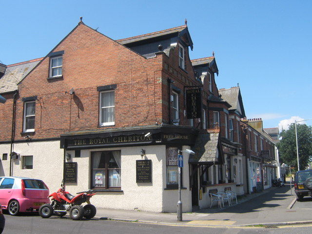
Image: © David Anstiss Taken: 13 Jun 2009
On junction of 339 Cheriton Road (on right) and St Winifred Road (on left).
Images are licensed for reuse under creativecommons.org/licenses/by-sa/2.0
Image Location
Latitude
51.086843
Longitude
1.147559