Alton - Quaker Meeting House
Introduction
The photograph on this page of Alton - Quaker Meeting House by Peter Trimming as part of the Geograph project.
The Geograph project started in 2005 with the aim of publishing, organising and preserving representative images for every square kilometre of Great Britain, Ireland and the Isle of Man.

There are currently over 7.5m images from over 14,400 individuals and you can help contribute to the project by visiting https://www.geograph.org.uk
Alton - Quaker Meeting House
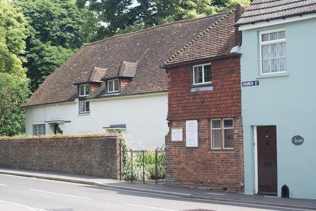
Image: © Peter Trimming Taken: 14 Jun 2009
At the end of Old Odiham Road, where it becomes Church Street.
Images are licensed for reuse under creativecommons.org/licenses/by-sa/2.0
Image Location
Latitude
51.152253
Longitude
-0.975943