Warehouse Lane, Belfast
Introduction
The photograph on this page of Warehouse Lane, Belfast by Albert Bridge as part of the Geograph project.
The Geograph project started in 2005 with the aim of publishing, organising and preserving representative images for every square kilometre of Great Britain, Ireland and the Isle of Man.

There are currently over 7.5m images from over 14,400 individuals and you can help contribute to the project by visiting https://www.geograph.org.uk
Warehouse Lane, Belfast
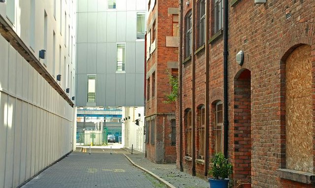
Image: © Albert Bridge Taken: 14 Jun 2009
Warehouse Lane runs from Exchange Place Image to Waring Street Image Closed to the public for many years it re-opened recently following the building of a new hotel Image Not shown in the 1:12,000 OS street map but it did appear as a numbered street in the 1:10,000 1980 edition. The “warehouse” was, it seems, a bonded one for wines and spirits.
Images are licensed for reuse under creativecommons.org/licenses/by-sa/2.0
Image Location
Latitude
54.601308
Longitude
-5.926775