Pink House, Hill St
Introduction
The photograph on this page of Pink House, Hill St by N Chadwick as part of the Geograph project.
The Geograph project started in 2005 with the aim of publishing, organising and preserving representative images for every square kilometre of Great Britain, Ireland and the Isle of Man.

There are currently over 7.5m images from over 14,400 individuals and you can help contribute to the project by visiting https://www.geograph.org.uk
Pink House, Hill St
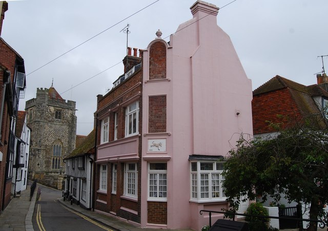
Image: © N Chadwick Taken: 10 Jun 2009
This building has all the signs that it is an ex pub. Possibly the red donkey (see image on the house). The building is dated 1840.
Images are licensed for reuse under creativecommons.org/licenses/by-sa/2.0
Image Location


Leaflet Map data © OpenStreetMap
Latitude
50.856704
Longitude
0.589891