Short Strand, Belfast
Introduction
The photograph on this page of Short Strand, Belfast by Albert Bridge as part of the Geograph project.
The Geograph project started in 2005 with the aim of publishing, organising and preserving representative images for every square kilometre of Great Britain, Ireland and the Isle of Man.

There are currently over 7.5m images from over 14,400 individuals and you can help contribute to the project by visiting https://www.geograph.org.uk
Short Strand, Belfast
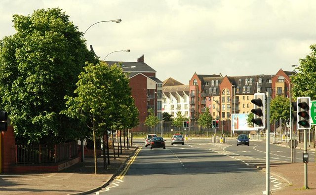
Image: © Albert Bridge Taken: 14 Jun 2009
The Short Strand runs from Bridge End to the Albertbridge Road. Now completely redeveloped. It retains only the Metro bus depot. It once boasted the Mountpottinger tram depot - later to become a Corporation bus depot. The name “Short Strand” is also used to denote the area between here, the Albertbridge Road and Bryson Street.
Images are licensed for reuse under creativecommons.org/licenses/by-sa/2.0
Image Location
Latitude
54.599252
Longitude
-5.911714