Path junction at Cow Ford
Introduction
The photograph on this page of Path junction at Cow Ford by Andrew Curtis as part of the Geograph project.
The Geograph project started in 2005 with the aim of publishing, organising and preserving representative images for every square kilometre of Great Britain, Ireland and the Isle of Man.

There are currently over 7.5m images from over 14,400 individuals and you can help contribute to the project by visiting https://www.geograph.org.uk
Path junction at Cow Ford
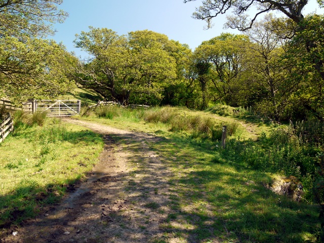
Image: © Andrew Curtis Taken: 12 Jun 2009
One path follows the farm track through the gate and turns to the east while the other crosses the ford by a new footbridge in the trees to the right and heads south-east.
Images are licensed for reuse under creativecommons.org/licenses/by-sa/2.0
Image Location
Latitude
55.566684
Longitude
-1.879464