The junction of Ham Road with Priory Row
Introduction
The photograph on this page of The junction of Ham Road with Priory Row by pam fray as part of the Geograph project.
The Geograph project started in 2005 with the aim of publishing, organising and preserving representative images for every square kilometre of Great Britain, Ireland and the Isle of Man.

There are currently over 7.5m images from over 14,400 individuals and you can help contribute to the project by visiting https://www.geograph.org.uk
The junction of Ham Road with Priory Row
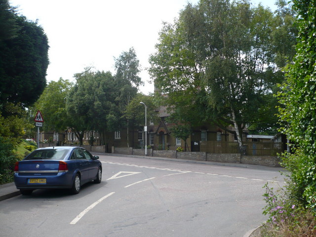
Image: © pam fray Taken: 14 Jun 2009
Davington Primary School in Priory Row can be seen opposite.
Images are licensed for reuse under creativecommons.org/licenses/by-sa/2.0
Image Location
Latitude
51.322071
Longitude
0.885309