The Meadows
Introduction
The photograph on this page of The Meadows by jeff collins as part of the Geograph project.
The Geograph project started in 2005 with the aim of publishing, organising and preserving representative images for every square kilometre of Great Britain, Ireland and the Isle of Man.

There are currently over 7.5m images from over 14,400 individuals and you can help contribute to the project by visiting https://www.geograph.org.uk
The Meadows
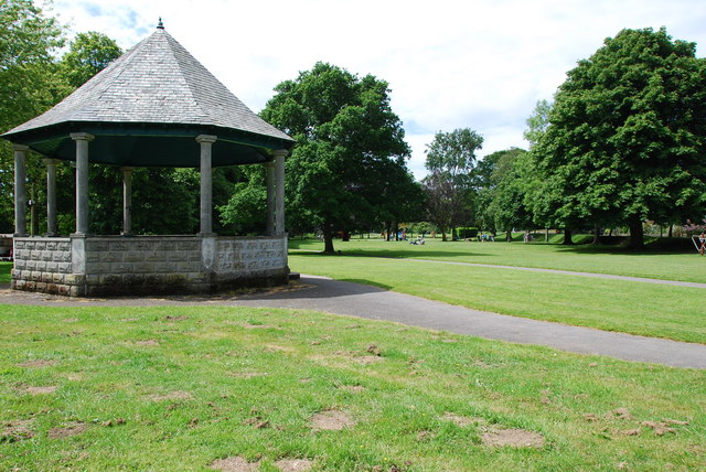
Image: © jeff collins Taken: 13 Jun 2009
The area known as the Meadows,is the main park in Tavistock.Here the small Bandstand can be seen,with the children's play area in the background.The park is situated between the river Tavy and the Canal.
Images are licensed for reuse under creativecommons.org/licenses/by-sa/2.0
Image Location


Leaflet Map data © OpenStreetMap
Latitude
50.546364
Longitude
-4.148979