Breakneck Hill, Teignmouth
Introduction
The photograph on this page of Breakneck Hill, Teignmouth by Robin Stott as part of the Geograph project.
The Geograph project started in 2005 with the aim of publishing, organising and preserving representative images for every square kilometre of Great Britain, Ireland and the Isle of Man.

There are currently over 7.5m images from over 14,400 individuals and you can help contribute to the project by visiting https://www.geograph.org.uk
Breakneck Hill, Teignmouth
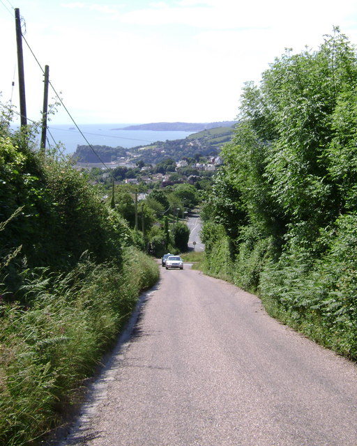
Image: © Robin Stott Taken: 7 Jun 2009
Climbing up from Higher Exeter Road, centre. The Ness appears, left, across the River Teign, with Hope's Nose and the heights of Watcombe beyond on the north side of Torbay.
Images are licensed for reuse under creativecommons.org/licenses/by-sa/2.0
Image Location
Latitude
50.563216
Longitude
-3.505026