Playing fields, Teignmouth Community College
Introduction
The photograph on this page of Playing fields, Teignmouth Community College by Robin Stott as part of the Geograph project.
The Geograph project started in 2005 with the aim of publishing, organising and preserving representative images for every square kilometre of Great Britain, Ireland and the Isle of Man.

There are currently over 7.5m images from over 14,400 individuals and you can help contribute to the project by visiting https://www.geograph.org.uk
Playing fields, Teignmouth Community College
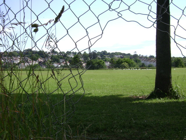
Image: © Robin Stott Taken: 7 Jun 2009
Seen from Exeter Road. The height of the south end of the playing fields above natural ground can be judged in http://www.geograph.org.uk/photo/3782981 Extensive cut-and-fill to produce level ground has been undertaken at several sites on the east side of Exeter Road.
Images are licensed for reuse under creativecommons.org/licenses/by-sa/2.0
Image Location
Latitude
50.551566
Longitude
-3.501832