View along the Royal Military Canal Path
Introduction
The photograph on this page of View along the Royal Military Canal Path by Nick Smith as part of the Geograph project.
The Geograph project started in 2005 with the aim of publishing, organising and preserving representative images for every square kilometre of Great Britain, Ireland and the Isle of Man.

There are currently over 7.5m images from over 14,400 individuals and you can help contribute to the project by visiting https://www.geograph.org.uk
View along the Royal Military Canal Path
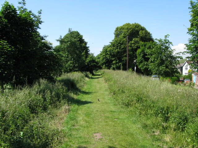
Image: © Nick Smith Taken: 13 Jun 2009
The path runs for 28 miles alongside the canal, this section is parallel to Green Lane
Images are licensed for reuse under creativecommons.org/licenses/by-sa/2.0
Image Location


Leaflet Map data © OpenStreetMap
Latitude
51.071034
Longitude
1.068961