Demolition site of Williamwood High School
Introduction
The photograph on this page of Demolition site of Williamwood High School by Stephen Sweeney as part of the Geograph project.
The Geograph project started in 2005 with the aim of publishing, organising and preserving representative images for every square kilometre of Great Britain, Ireland and the Isle of Man.

There are currently over 7.5m images from over 14,400 individuals and you can help contribute to the project by visiting https://www.geograph.org.uk
Demolition site of Williamwood High School
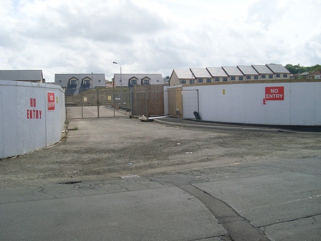
Image: © Stephen Sweeney Taken: 13 Jun 2009
Completing the school closure as documented by Gordon McKinlay in 2005 and 2006.
Images are licensed for reuse under creativecommons.org/licenses/by-sa/2.0
Image Location
Latitude
55.792169
Longitude
-4.288251