The Greensand Way crosses the A286 at Brook
Introduction
The photograph on this page of The Greensand Way crosses the A286 at Brook by Shazz as part of the Geograph project.
The Geograph project started in 2005 with the aim of publishing, organising and preserving representative images for every square kilometre of Great Britain, Ireland and the Isle of Man.

There are currently over 7.5m images from over 14,400 individuals and you can help contribute to the project by visiting https://www.geograph.org.uk
The Greensand Way crosses the A286 at Brook
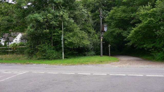
Image: © Shazz Taken: 12 Jun 2009
This side of the A road the Greensand Way is on Bowlhead Green Road, on the far side it is on a bridleway.
Images are licensed for reuse under creativecommons.org/licenses/by-sa/2.0
Image Location
Latitude
51.136973
Longitude
-0.672401