Kirkgate
Introduction
The photograph on this page of Kirkgate by Rich Tea as part of the Geograph project.
The Geograph project started in 2005 with the aim of publishing, organising and preserving representative images for every square kilometre of Great Britain, Ireland and the Isle of Man.

There are currently over 7.5m images from over 14,400 individuals and you can help contribute to the project by visiting https://www.geograph.org.uk
Kirkgate
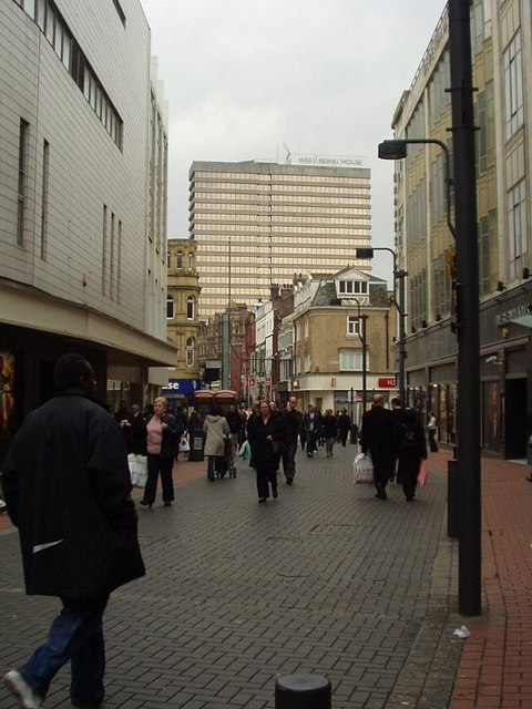
Image: © Rich Tea Taken: 9 Mar 2006
Looking west towards Briggate. West Riding House dominating the background.
Images are licensed for reuse under creativecommons.org/licenses/by-sa/2.0
Image Location
Latitude
53.79693
Longitude
-1.541483