Meadow above Hazlewood
Introduction
The photograph on this page of Meadow above Hazlewood by Derek Harper as part of the Geograph project.
The Geograph project started in 2005 with the aim of publishing, organising and preserving representative images for every square kilometre of Great Britain, Ireland and the Isle of Man.

There are currently over 7.5m images from over 14,400 individuals and you can help contribute to the project by visiting https://www.geograph.org.uk
Meadow above Hazlewood
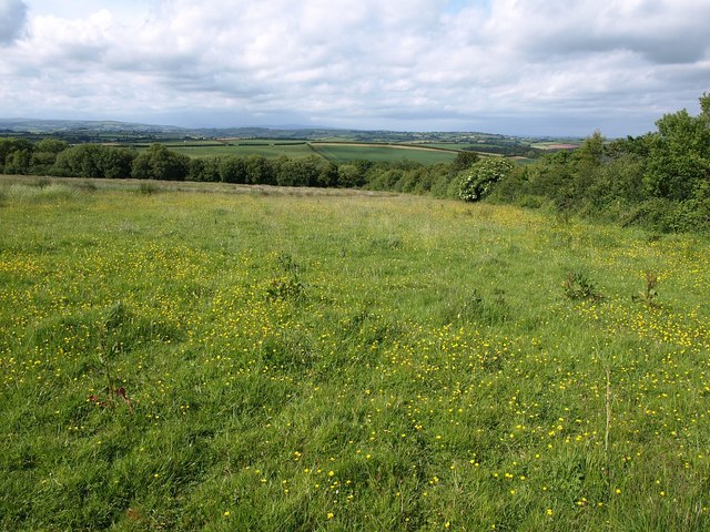
Image: © Derek Harper Taken: 10 Jun 2009
This field, seen in the background of Image, is crossed by the conservation walk described at http://cwr.naturalengland.org.uk/DisplayImage.aspx?Type=Mapboard&IFN=102880112.pdf , but owing to the lack of waymarking I didn't enter it.
Images are licensed for reuse under creativecommons.org/licenses/by-sa/2.0
Image Location
Latitude
50.359101
Longitude
-3.799565