Wooburn Green: Ronald Wood valley
Introduction
The photograph on this page of Wooburn Green: Ronald Wood valley by Nigel Cox as part of the Geograph project.
The Geograph project started in 2005 with the aim of publishing, organising and preserving representative images for every square kilometre of Great Britain, Ireland and the Isle of Man.

There are currently over 7.5m images from over 14,400 individuals and you can help contribute to the project by visiting https://www.geograph.org.uk
Wooburn Green: Ronald Wood valley
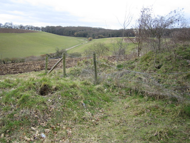
Image: © Nigel Cox Taken: 10 Mar 2006
Dry valley viewed looking westwards from Whitepit Lane.
Images are licensed for reuse under creativecommons.org/licenses/by-sa/2.0
Image Location
Latitude
51.589878
Longitude
-0.693598