Bala Archway
Introduction
The photograph on this page of Bala Archway by Paul Brooker as part of the Geograph project.
The Geograph project started in 2005 with the aim of publishing, organising and preserving representative images for every square kilometre of Great Britain, Ireland and the Isle of Man.

There are currently over 7.5m images from over 14,400 individuals and you can help contribute to the project by visiting https://www.geograph.org.uk
Bala Archway
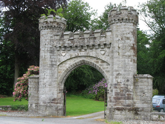
Image: © Paul Brooker Taken: 9 Jun 2009
This Archway leads to the Rhiwlas estate, built in 1809 at the same time as a castellated mansion that was demolished in the 1950's and replaced with a new house
Images are licensed for reuse under creativecommons.org/licenses/by-sa/2.0
Image Location
Latitude
52.913426
Longitude
-3.593257