Firbeck Main colliery
Introduction
The photograph on this page of Firbeck Main colliery by Ashley Dace as part of the Geograph project.
The Geograph project started in 2005 with the aim of publishing, organising and preserving representative images for every square kilometre of Great Britain, Ireland and the Isle of Man.

There are currently over 7.5m images from over 14,400 individuals and you can help contribute to the project by visiting https://www.geograph.org.uk
Firbeck Main colliery
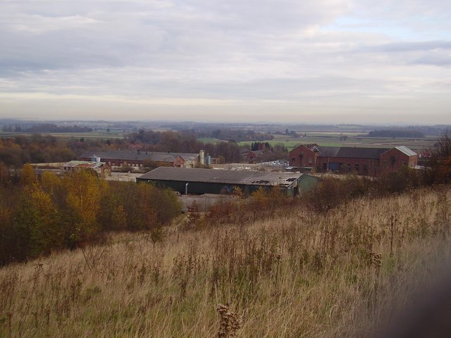
Image: © Ashley Dace Taken: Unknown
The colliery from the spoil heap. The coal is about 780 metres below ground. The building to the left is the old engine shed seen here. http://www.healeyhero.co.uk/rescue/pits/FirbeckColliery/FirbeckColliery.htm
Images are licensed for reuse under creativecommons.org/licenses/by-sa/2.0
Image Location
Latitude
53.367424
Longitude
-1.129964