Firbeck Main colliery
Introduction
The photograph on this page of Firbeck Main colliery by Ashley Dace as part of the Geograph project.
The Geograph project started in 2005 with the aim of publishing, organising and preserving representative images for every square kilometre of Great Britain, Ireland and the Isle of Man.

There are currently over 7.5m images from over 14,400 individuals and you can help contribute to the project by visiting https://www.geograph.org.uk
Firbeck Main colliery
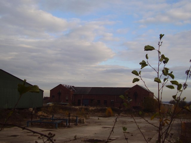
Image: © Ashley Dace Taken: Unknown
This colliery is one of main that dotted this landscape many years ago. It was a large mine with the usual two shafts and associated buildings, there was a specially built spur to connect with the freight railway South Yorkshire Joint Railway (one of the most profitable in England). The mine employed lots of people and the village of Langold was created for the mine. It is said 1 house a week went up at the peak or building.
Images are licensed for reuse under creativecommons.org/licenses/by-sa/2.0
Image Location
Latitude
53.368647
Longitude
-1.12513