Open Parkland
Introduction
The photograph on this page of Open Parkland by David Newton as part of the Geograph project.
The Geograph project started in 2005 with the aim of publishing, organising and preserving representative images for every square kilometre of Great Britain, Ireland and the Isle of Man.

There are currently over 7.5m images from over 14,400 individuals and you can help contribute to the project by visiting https://www.geograph.org.uk
Open Parkland
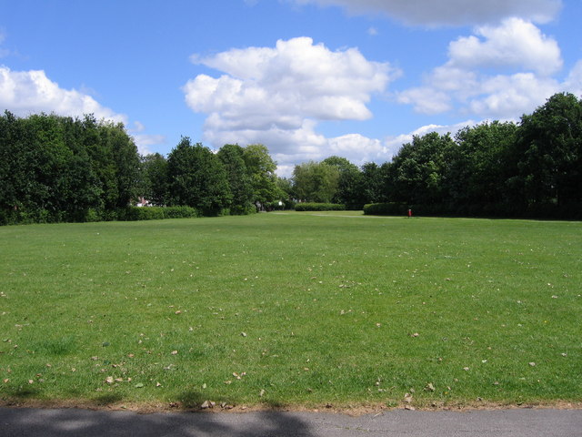
Image: © David Newton Taken: 11 Jun 2009
A View looking north east across Davyhulme Park.
Images are licensed for reuse under creativecommons.org/licenses/by-sa/2.0
Image Location
Latitude
53.454386
Longitude
-2.352191