High Street, Bangor
Introduction
The photograph on this page of High Street, Bangor by Rossographer as part of the Geograph project.
The Geograph project started in 2005 with the aim of publishing, organising and preserving representative images for every square kilometre of Great Britain, Ireland and the Isle of Man.

There are currently over 7.5m images from over 14,400 individuals and you can help contribute to the project by visiting https://www.geograph.org.uk
High Street, Bangor
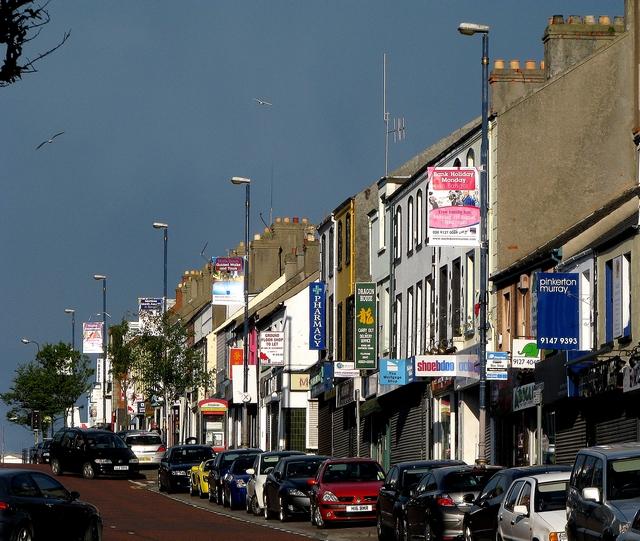
Image: © Rossographer Taken: 5 Jun 2009
A view of the terraces on the upper and southern side of the street. The buildings mostly date from the late 19th century and virtually all were originally constructed as houses. All are now converted into offices, shops and fast-food takeaways.
Images are licensed for reuse under creativecommons.org/licenses/by-sa/2.0
Image Location
Latitude
54.663465
Longitude
-5.664135