Incomplete wall near Ashford
Introduction
The photograph on this page of Incomplete wall near Ashford by Derek Harper as part of the Geograph project.
The Geograph project started in 2005 with the aim of publishing, organising and preserving representative images for every square kilometre of Great Britain, Ireland and the Isle of Man.

There are currently over 7.5m images from over 14,400 individuals and you can help contribute to the project by visiting https://www.geograph.org.uk
Incomplete wall near Ashford
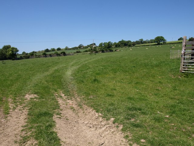
Image: © Derek Harper Taken: 1 Jun 2009
The ruinous wall climbing this field only reaches halfway up it, but the aerial view reveals at least one other missing field boundary. Seen from Strand Lane.
Images are licensed for reuse under creativecommons.org/licenses/by-sa/2.0
Image Location
Latitude
51.096348
Longitude
-4.10369