Clyst Hydon: St Andrew?s church
Introduction
The photograph on this page of Clyst Hydon: St Andrew?s church by Martin Bodman as part of the Geograph project.
The Geograph project started in 2005 with the aim of publishing, organising and preserving representative images for every square kilometre of Great Britain, Ireland and the Isle of Man.

There are currently over 7.5m images from over 14,400 individuals and you can help contribute to the project by visiting https://www.geograph.org.uk
Clyst Hydon: St Andrew?s church
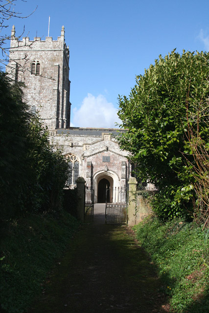
Image: © Martin Bodman Taken: 10 Mar 2006
A 15th century structure, which was dedicated to St Mary in 1470. Looking north
Images are licensed for reuse under creativecommons.org/licenses/by-sa/2.0
Image Location


Leaflet Map data © OpenStreetMap
Latitude
50.806256
Longitude
-3.370471