Bhaltos
Introduction
The photograph on this page of Bhaltos by Anne Burgess as part of the Geograph project.
The Geograph project started in 2005 with the aim of publishing, organising and preserving representative images for every square kilometre of Great Britain, Ireland and the Isle of Man.

There are currently over 7.5m images from over 14,400 individuals and you can help contribute to the project by visiting https://www.geograph.org.uk
Bhaltos
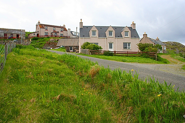
Image: © Anne Burgess Taken: 4 Jun 2009
Most houses in Bhaltos are built on the steeper slopes above the bay. I presume that this would originally be to avoid building on land which could be cultivated, but the modern benefit is that they enjoy this fine view Image
Images are licensed for reuse under creativecommons.org/licenses/by-sa/2.0
Image Location


Leaflet Map data © OpenStreetMap
Latitude
58.226027
Longitude
-6.955415