Albany Presbyterian Church
Introduction
The photograph on this page of Albany Presbyterian Church by P Flannagan as part of the Geograph project.
The Geograph project started in 2005 with the aim of publishing, organising and preserving representative images for every square kilometre of Great Britain, Ireland and the Isle of Man.

There are currently over 7.5m images from over 14,400 individuals and you can help contribute to the project by visiting https://www.geograph.org.uk
Albany Presbyterian Church
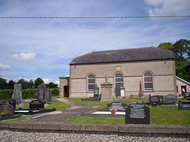
Image: © P Flannagan Taken: 8 Jun 2009
Albany Presbyterian is a small church on the west shore of Lough Neagh, in the townland of Killycolpy. The nearest town is Stewartstown to the west; to the north is Arboe, and Mountjoy castle is a few miles south. It was built in AD 1838.
Images are licensed for reuse under creativecommons.org/licenses/by-sa/2.0
Image Location
Latitude
54.587196
Longitude
-6.587437