Muirton
Introduction
The photograph on this page of Muirton by Ann Harrison as part of the Geograph project.
The Geograph project started in 2005 with the aim of publishing, organising and preserving representative images for every square kilometre of Great Britain, Ireland and the Isle of Man.

There are currently over 7.5m images from over 14,400 individuals and you can help contribute to the project by visiting https://www.geograph.org.uk
Muirton
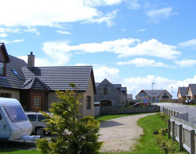
Image: © Ann Harrison Taken: 26 May 2009
The old farm buildings have been renovated and new dwellings have been built during the past twenty years, previously it was a farm with a caravan site.
Images are licensed for reuse under creativecommons.org/licenses/by-sa/2.0
Image Location


Leaflet Map data © OpenStreetMap
Latitude
57.697465
Longitude
-3.300684