Foundry Cottage
Introduction
The photograph on this page of Foundry Cottage by Kate Jewell as part of the Geograph project.
The Geograph project started in 2005 with the aim of publishing, organising and preserving representative images for every square kilometre of Great Britain, Ireland and the Isle of Man.

There are currently over 7.5m images from over 14,400 individuals and you can help contribute to the project by visiting https://www.geograph.org.uk
Foundry Cottage
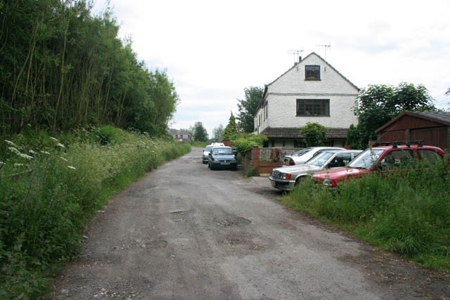
Image: © Kate Jewell Taken: 4 Jun 2009
Called Foundry House on the 1:2500 OS map ( http://magic.defra.gov.uk/website/magic/viewer.htm?startTopic=maggb&xygridref=447600,343300&startscale=2500 ) this building is divided into 4 cottages. The gardens back onto the Nottingham Canal.
Images are licensed for reuse under creativecommons.org/licenses/by-sa/2.0
Image Location
Latitude
52.984424
Longitude
-1.291397