Manchester Dry Docks
Introduction
The photograph on this page of Manchester Dry Docks by Chris Allen as part of the Geograph project.
The Geograph project started in 2005 with the aim of publishing, organising and preserving representative images for every square kilometre of Great Britain, Ireland and the Isle of Man.

There are currently over 7.5m images from over 14,400 individuals and you can help contribute to the project by visiting https://www.geograph.org.uk
Manchester Dry Docks
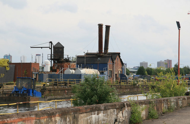
Image: © Chris Allen Taken: 7 Jun 2009
Through the fence with a telephoto. The drunken chimneys are on the boiler house for the steam drainage pumps. They are below the water level and i hope they are not flooded.
Images are licensed for reuse under creativecommons.org/licenses/by-sa/2.0
Image Location
Latitude
53.471952
Longitude
-2.305333