Loch Stiapabhat
Introduction
The photograph on this page of Loch Stiapabhat by Anne Burgess as part of the Geograph project.
The Geograph project started in 2005 with the aim of publishing, organising and preserving representative images for every square kilometre of Great Britain, Ireland and the Isle of Man.

There are currently over 7.5m images from over 14,400 individuals and you can help contribute to the project by visiting https://www.geograph.org.uk
Loch Stiapabhat
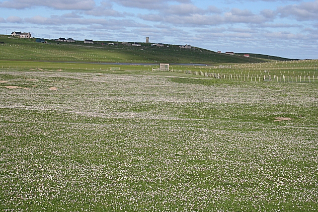
Image: © Anne Burgess Taken: 2 Jun 2009
A signpost indicates a path to a nature reserve at Loch Stiapabhat, which is flanked by some marshy ground to the west. Above the loch, on the hill, is the water tower in An Cnoc Ard.
Images are licensed for reuse under creativecommons.org/licenses/by-sa/2.0
Image Location
Latitude
58.496143
Longitude
-6.242879